 and south (right) of the site but are not labelled. St James' Church is shown at the junction of Upper Parliament Street, St James' Street, and St James' Place.
Thomas Kaye: A Correct Plan of Liverpool 1810")
)
)
)
)
)
)
)
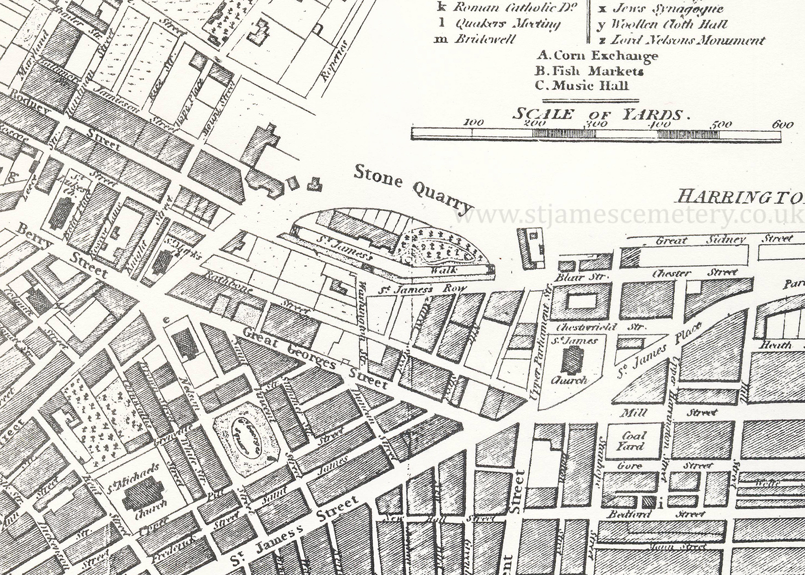
1810 Map
This map from 1810 shows the stone quarry and St James' Walk, as well as six buildings on the mount. Buildings are shown to the north (left) and south (right) of the site but are not labelled. St James' Church is shown at the junction of Upper Parliament Street, St James' Street, and St James' Place.
Thomas Kaye: A Correct Plan of Liverpool 1810